
Home
/
Hema South West Western Australia Map Multicoloured
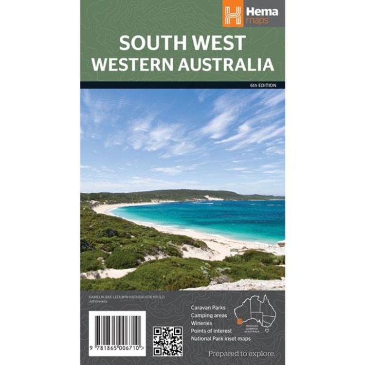
Hema South West Western Australia Map Multicoloured
Quantity
-
Detail
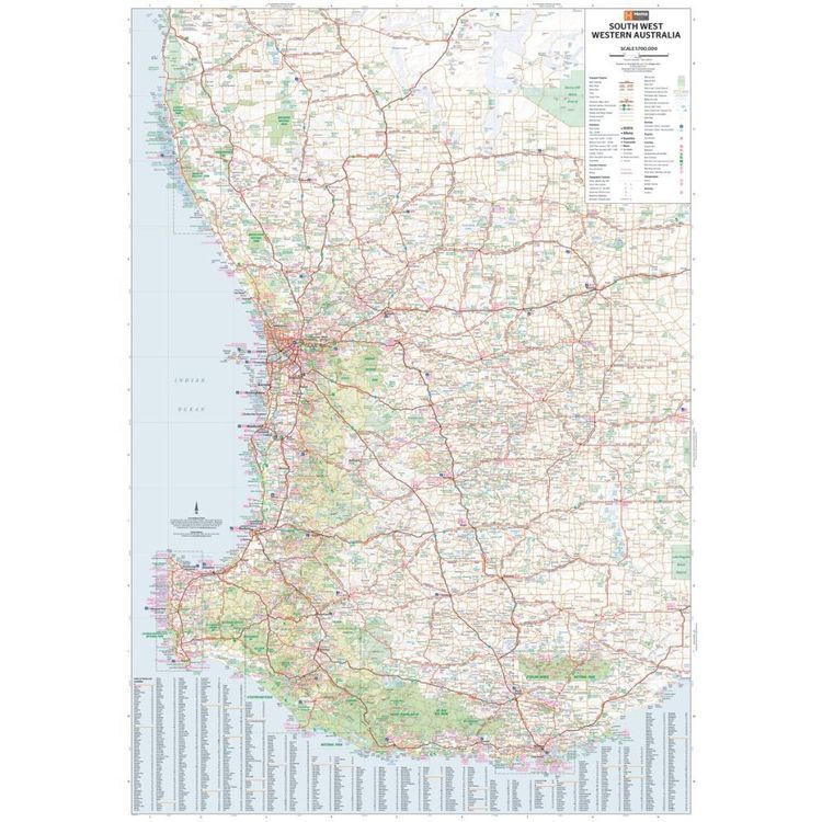
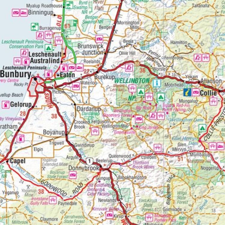
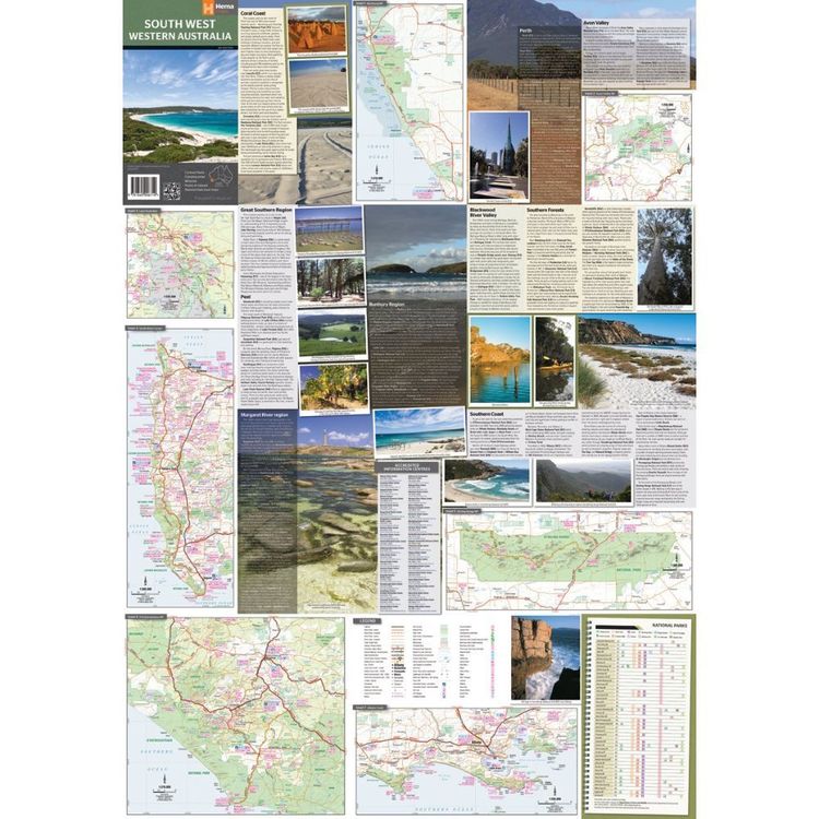
A regional map for discovering South West Western Australia (WA). On the reverse side of the map are detailed inset maps of Nambung National Park, Avon Valley National Park, Lane Poole Reservation, the South West Corner, Stirling Range National Park, D'Entrecastreaux National Park and Albany Coast. Also included is tourist information for the Coral Coast, Perth, Avon Valley, the Great Southern Region, Peel, Blackwood River Valley, the Southern Forests, the Margaret River region and the Southern Coast.
- Features
- Features information on major touring routes
Major tourist attractions and road distances marked
Detailed inset maps of National parks marked including contact information and events
Camping areas and points of interest included throughout
- Material
- Paper
- Dimensions
- 75 x 55.5 cm
- Packed Dimensions
- 25 x 14 cm
- Contents
- 1 folded map
- Primary Activity(s)
- Travel
Caravanning
- EAN 9781865006710, 9321438001621
-
Customer ReviewsNo comments